What is Land Surveying?

A land survey is the process of finding, identifying, measuring and reporting the location of land features. These land features take the form of boundaries such as ownership, jurisdiction (zoning, township) and physical (water, elevation, soil).

 
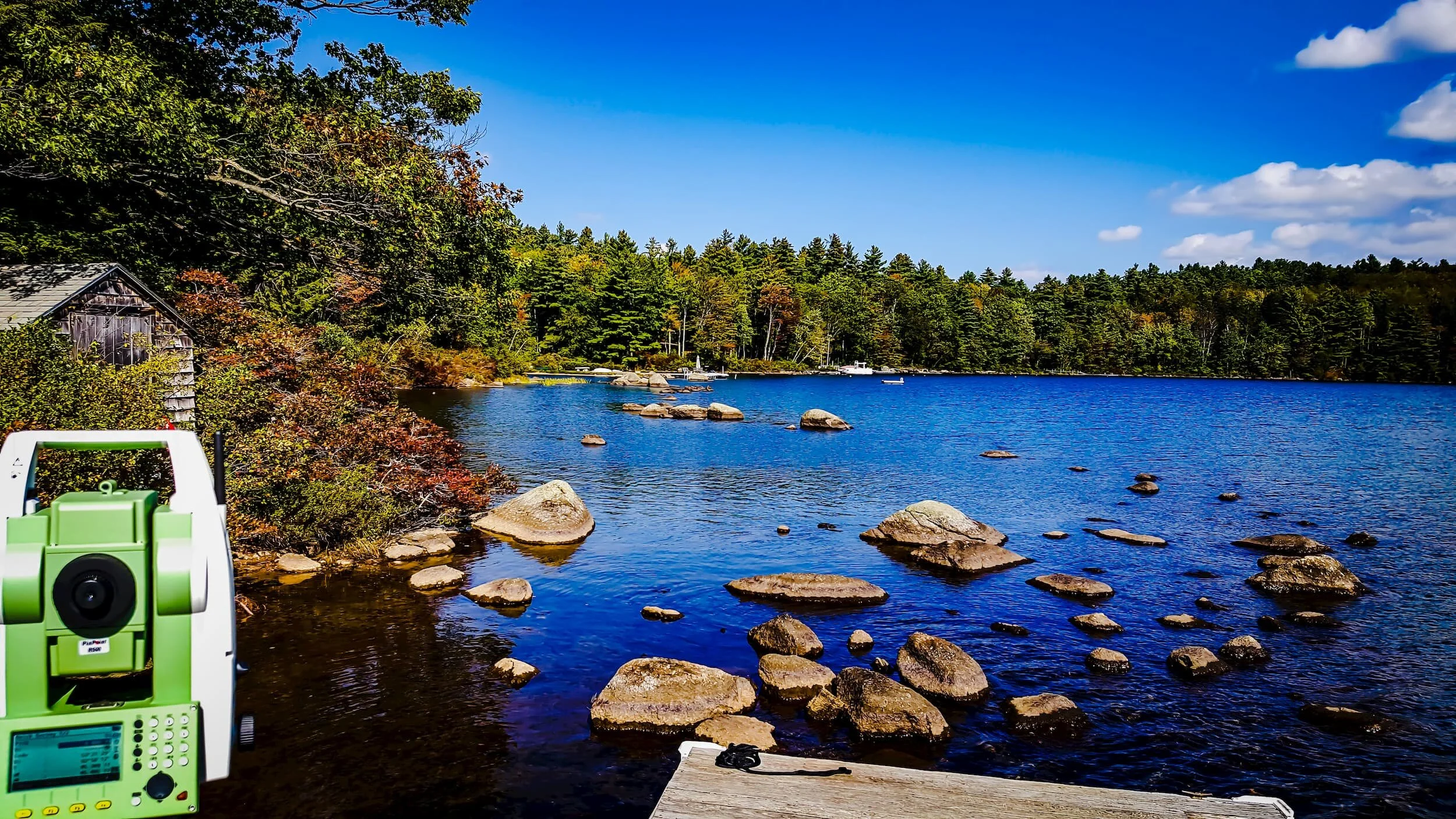
Swanzey ts.jpg


4x3 Cardinal SUV by leaning tree.jpg

Who Needs a Land Survey?


A surveyor should be consulted before land is purchased, sold or improved in any manner (building of houses, roads, wells, fences, landscaping etc.), before estate planning or placed into conservation.

Our Services